
LANDSCAPES IN PRACTICE
Our sustainability framework, applied to landscapes.
We apply our sustainability framework to specific places, surfacing insights that inform sustainable planning.
WHAT WE MEAN BY LANDSCAPES
Landscapes, and how we read them.
A landscape is a real place: a watershed, a mountain valley, a stretch of coast, a jurisdiction. It is the scale at which ecology, livelihoods, governance and capital actually meet. Most sustainability work claims this scale; very little of it works at it.
The landscapes here are examples: places we know, places we have presence or relationships in, places we hold a standing interest in. To each we apply our sustainability framework: a structured reading across layers, flows, cross-cutting enablers and actors. The point of including them here is not to claim them as ours, nor to suggest we are creating anything in them. It is to show how the framework reads place. The goal is to understand a landscape well enough that any intervention (ours or anyone else’s) can be honest about what is actually there.
Some of the landscapes here have active engagements attached. Others do not. That is the point. Pandion’s view of a place stands on its own; the work follows when, and if, it makes sense.
LANDSCAPE PROFILES
Same framework, very different shapes.
Our sustainability framework applied to four landscapes that look nothing like each other. Some are early and largely unattended (Krupanj-Planina). Others are mature, complex and actor-rich (Surrey Hills). The framework reflects what is actually there, not a one-size-fits-all template. Each profile is a working document, not a finished product.
Four points: an English National Landscape, a Kenyan coast, a Serbian hill-country pilot landscape, and a Caribbean archipelago.
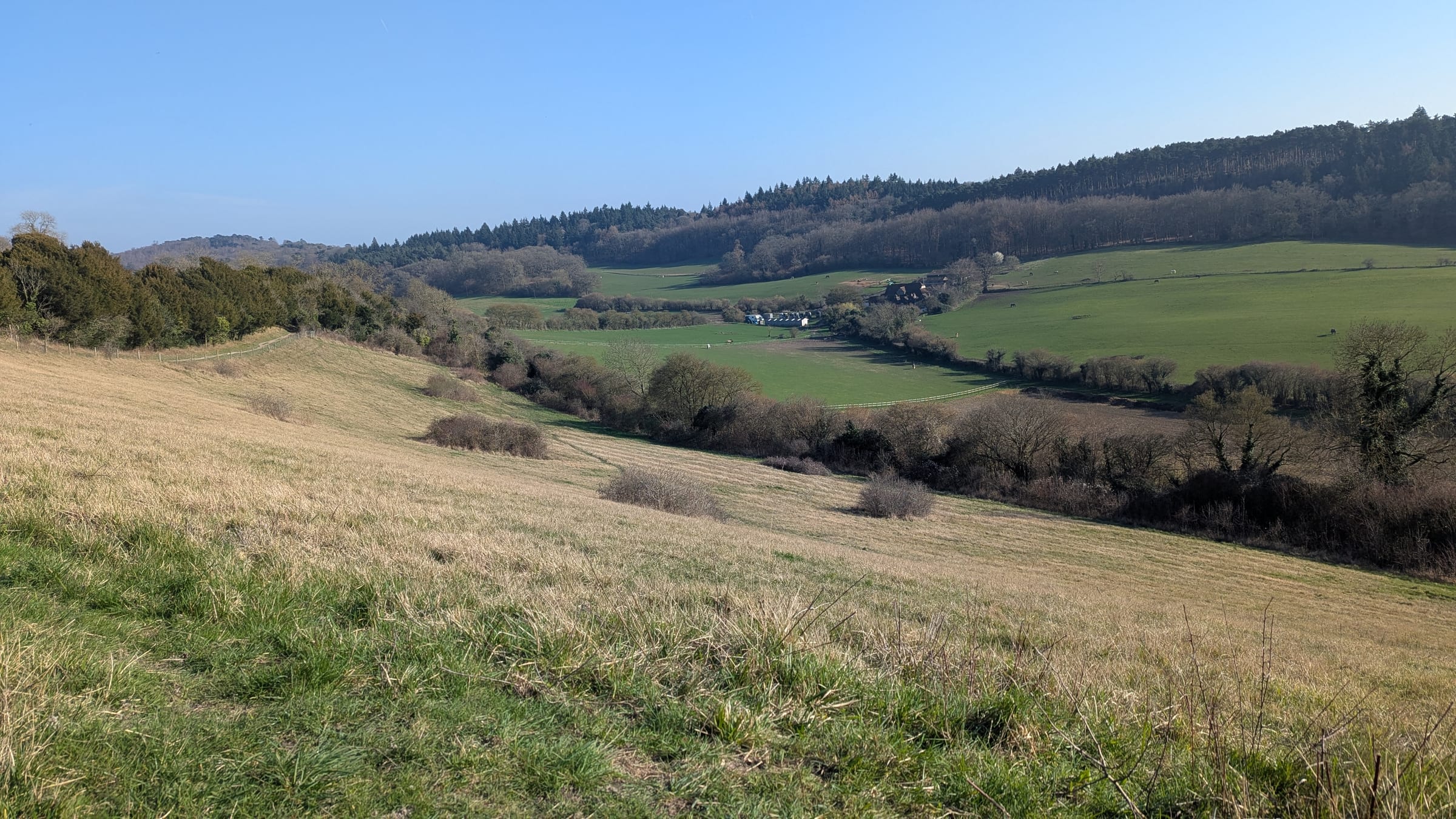
UNITED KINGDOM
LIVESurrey Hills
422 km² National Landscape (AONB). Affluent commuter belt, tourism, wine, BNG-active.
Open profile →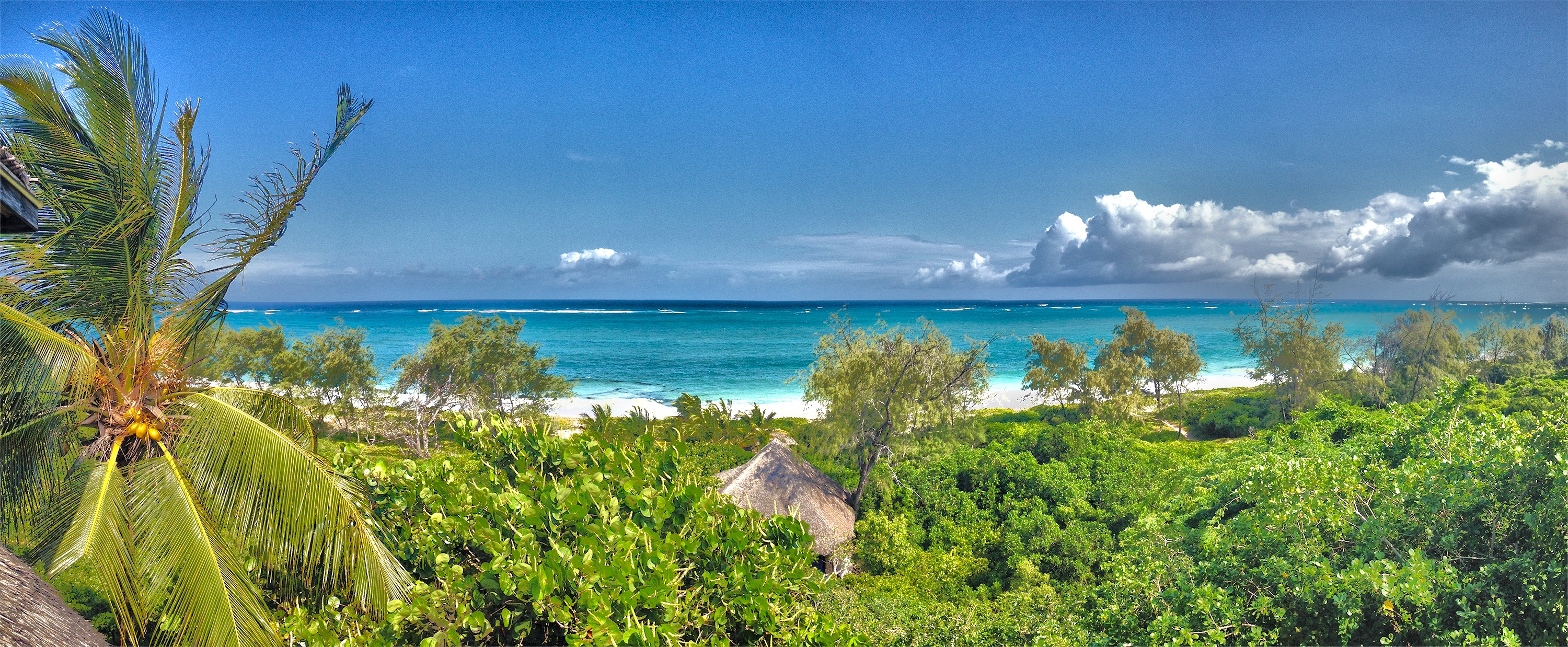
KENYA
LIVEWatamu
Coastal Kenyan landscape within Kilifi County. Watamu Marine NP, Mida Creek mangroves, and East Africa's largest remaining coastal forest, all within a few km of one tourism town.
Open profile →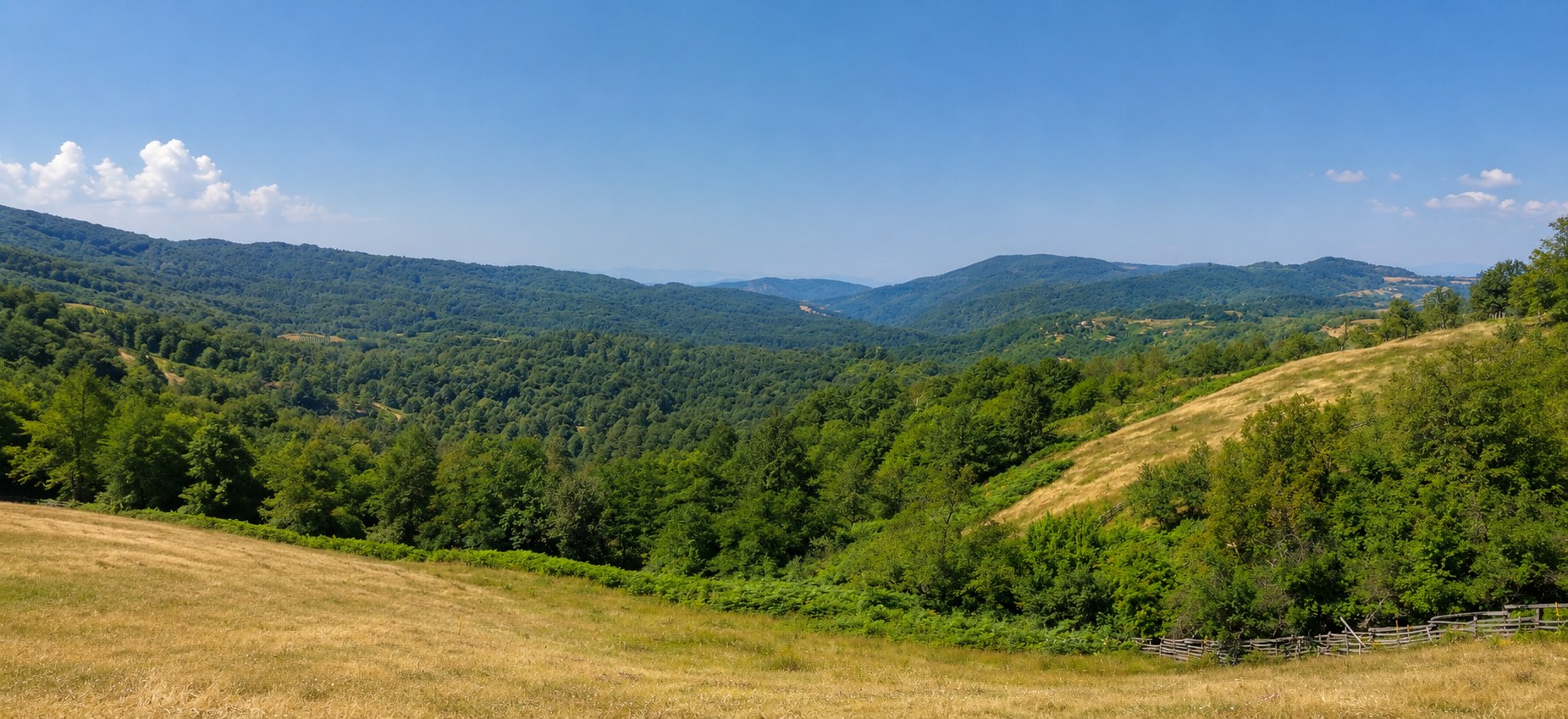
SERBIA
LIVEKrupanj-Planina
A five-village pilot landscape arc inside the 342 km² Krupanj municipality. Rađevina hill country: forested uplands, smallholder farms, depopulation.
Open profile →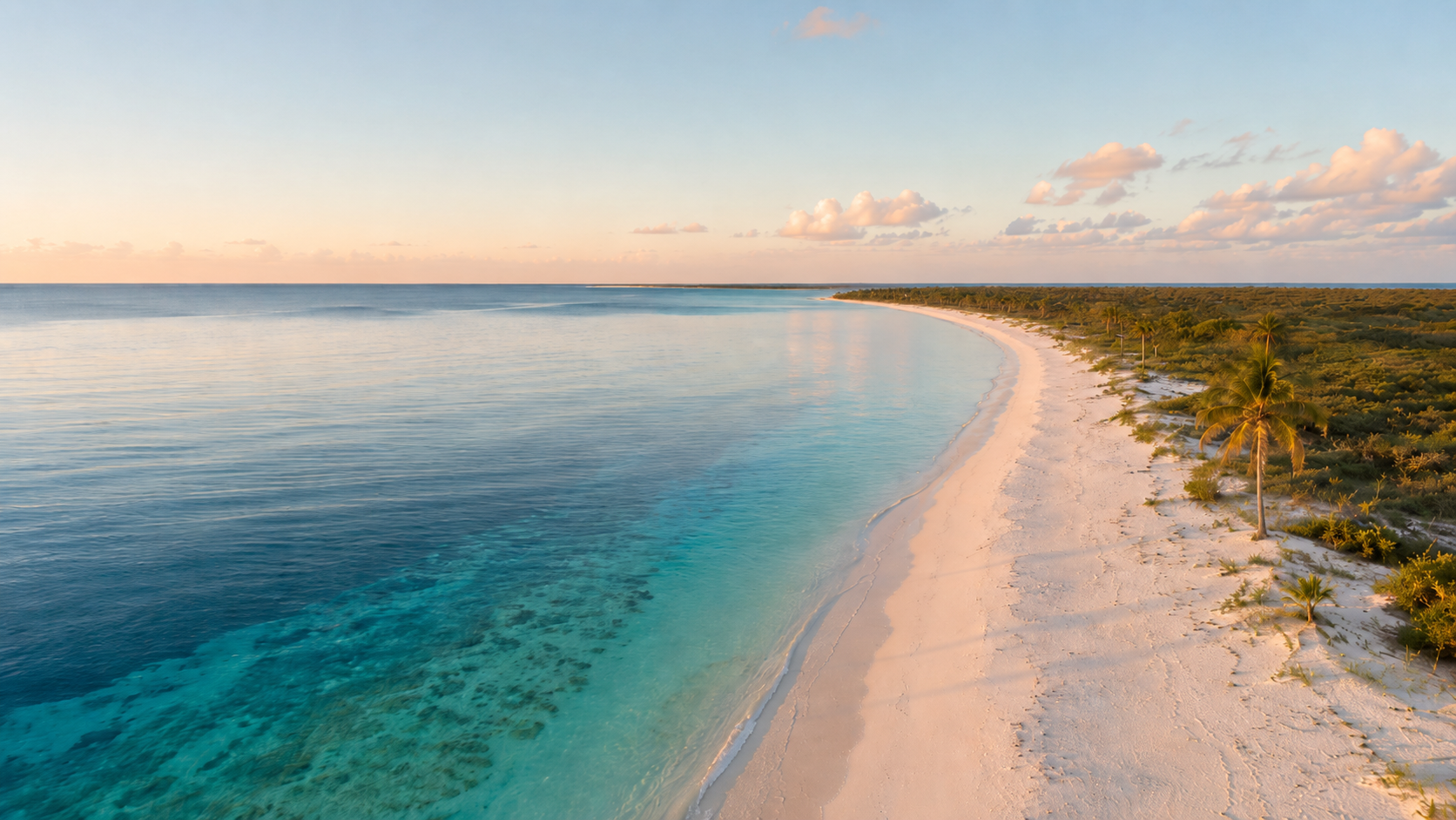
CARIBBEAN
LIVEProvidenciales
A ~98 km² limestone island in the Turks & Caicos archipelago. Tourism and population hub of a British Overseas Territory: Grace Bay reef and beach, Chalk Sound, Princess Alexandra National Park. The first SIDS landscape reading.
Open profile →HOW WE APPROACH THIS
Most of the time, we observe. When work happens, it happens through other people.
Pandion is not a delivery body. We hold the framework, apply it to specific landscapes, and coordinate when engagement makes sense, with four kinds of actor.
Stewards
Farmers, landowners, foresters, fishers: the people whose decisions shape the land.
Specialists
GIS analysts, ecologists, soil scientists, tourism planners: depth where we need it.
Funders
Public programmes, foundations, private capital: the resource flow that makes things possible.
Jurisdictional bodies
Municipalities, AONB authorities, national parks, ministries: the formal stewards of place.
Our value lies less in what we deliver and more in how clearly we read a place, and how well we connect the people who can act in it.