LANDSCAPE PROFILE
Krupanj-Planina
A five-village pilot landscape arc in the Rađevina hill country of Western Serbia: forested hills, smallholder farms, and the question of what comes next.
Krupanj Municipality · Mačva District · Western Serbia
An independent Pandion reading. We observe and synthesise this landscape through our sustainability framework. We are not a managing or governing body, and there is no established implementing partnership in this landscape.
PROFILE
A five-village pilot landscape arc (Planina, Krzava, Brstica, Krupanj town and Lipenović) set within the 342 km² hill-country municipality of Krupanj, in Western Serbia’s Rađevina region. Forested uplands, smallholder farms, and rural depopulation.
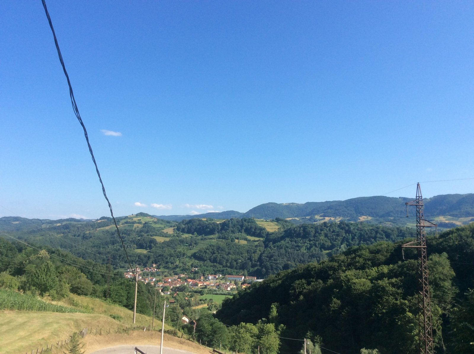
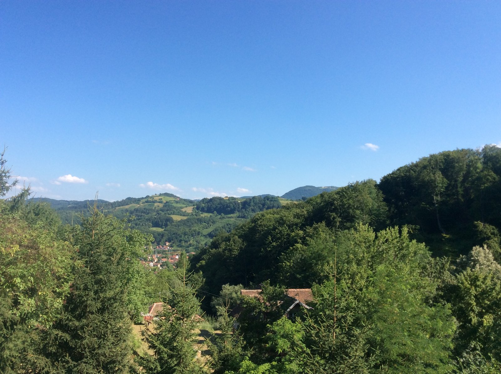
Krupanj is a hill-country municipality in Western Serbia’s Rađevina region, in the Mačva District. The landscape is dominated by forested uplands (mixed beech and oak covering roughly half its area) with declining smallholder agriculture (orchards, livestock, mixed farming), forest plantations, valleys and grassland meadows interspersed across roughly twenty to thirty dispersed villages. Land abandonment is rising as young people leave for cities.
The municipality is the framework’s unit of analysis: a 342 km² jurisdictional shell with limited institutional setup for landscape-scale work. Practical engagement is at a smaller scale, a contiguous pilot zone of five villages. Planina (the anchor, on the western side), Krzava and Brstica (bridging through the centre), the town of Krupanj itself (the municipal seat), and Lipenović (the eastern anchor, which includes the Crkveni park Dobri Potok cultural and heritage site) together form a coordinated west-to-east arc spanning the municipality. If a coordinated or collective approach can be shown to work in this pilot zone, the case for scaling across the remaining eighteen villages becomes legible.
The "Landscape" toggles represent the formal Serbian admin hierarchy (levels 2 → 9). The "Pilot landscape" toggles are Pandion's informal landscape selection, sitting in the gap where a UK-style National Landscape would otherwise be. A landscape is a bridge between the underlying biome and the governmental jurisdictional boundaries; it need not conform exactly to either. For Krupanj-Planina the pilot landscape currently aligns with Opština Krupanj (one administrative unit), but in other contexts (e.g. Surrey Hills National Landscape, which spans multiple UK councils) a landscape may cross admin boundaries. Boundaries from OpenStreetMap (ODbL).
GOVERNANCE & JURISDICTION
Where this sits in the Serbian local-government hierarchy.
Krupanj-Planina sits within the standard Serbian local-government hierarchy. The framework reads at admin level 8 (Opština Krupanj), which is the jurisdictional unit with self-governance. The pilot zone of 5 villages is a subset of admin level 9 (naselja, settlements), which are administrative subdivisions without separate governance.
THROUGH THE FRAMEWORK
The framework, applied to this place.
Our sustainability framework reads each landscape across layers, flows, cross-cutting enablers, and actors. Below: the headline insight from each, applied to Krupanj.
L1
layer
Planetary Foundations
Climate-vulnerable but carbon-rich. The 2014 floods are a defining recent event; nationally, Serbia has zero VCS or Gold Standard carbon projects.
L2
layer
Landscapes & Jurisdictions
342 km² hill-country municipality under a single authority: simple governance, but limited capacity. Depopulation is reshaping the landscape itself.
L3
layer
Ecosystem Services
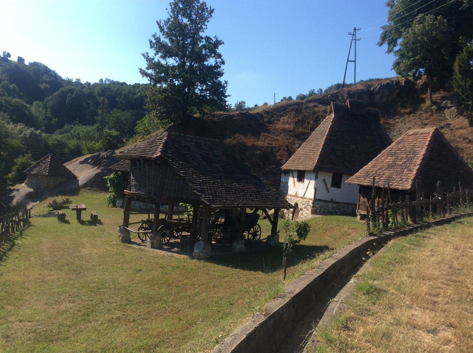
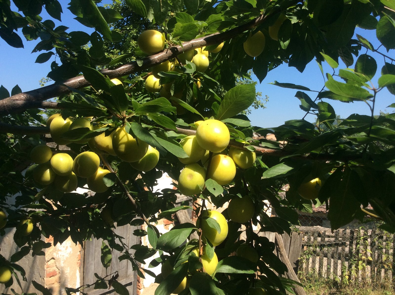
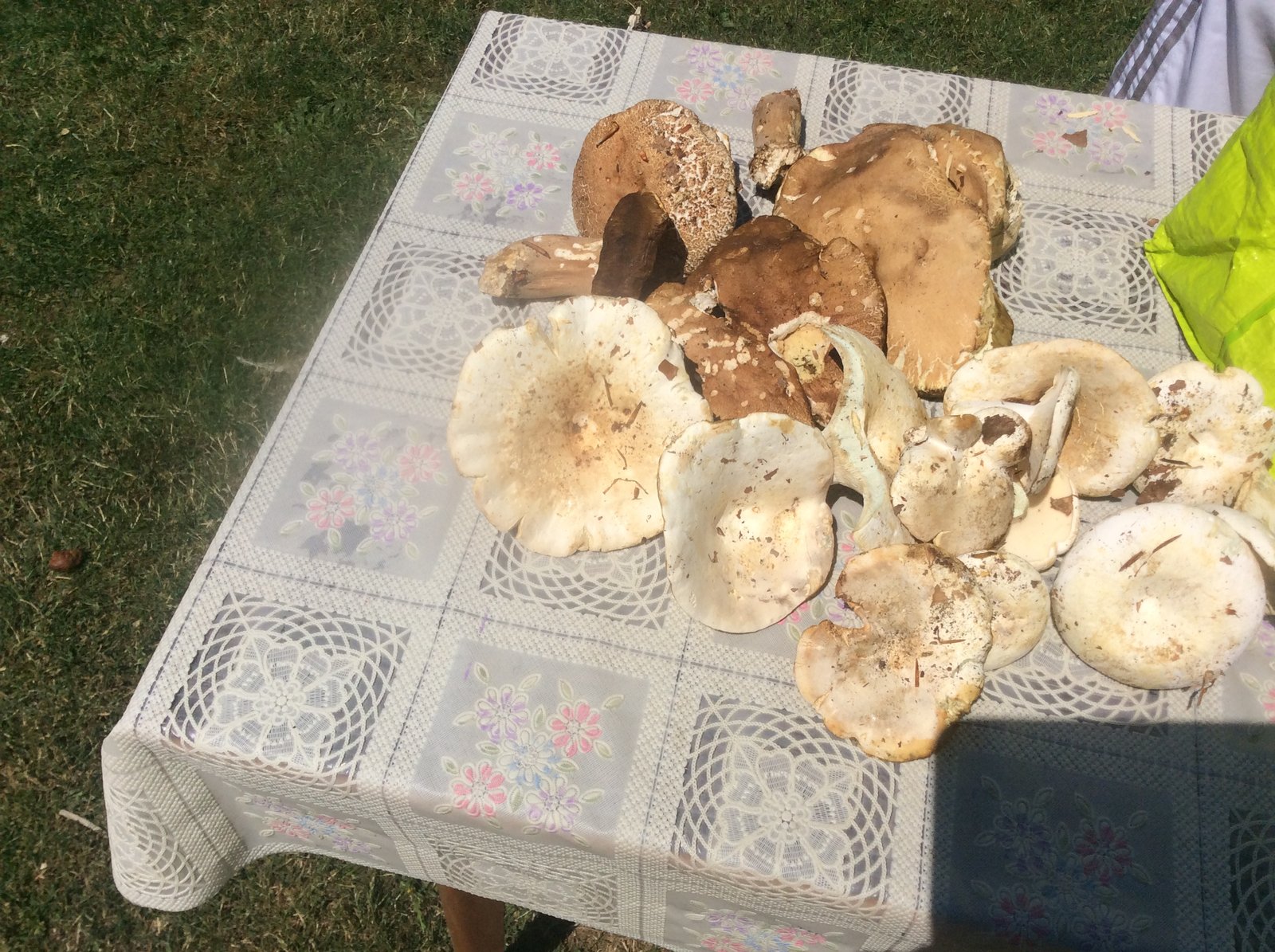
A goldmine of ecosystem services across all four classes with almost no market connection. Provisioning: honey, plums, mushrooms, timber, livestock — present but mostly unmonetised at scale. Regulating: forest carbon (with no domestic Serbian carbon market), water purification in the catchments feeding the Drina. Supporting: smallholder-mosaic biodiversity. Cultural: the heritage layer surfaces this — Dobri Potok church and museum, Monastery of St Basileus of Ostrog, Soko Grad fort, Mačkov kamen (Battle of Cer 1914 commemoration), Bela Crkva WW2 memorial complex, Stolice antimony-mining heritage (strategic WWII site). The cultural-service value is real (the Dobri Potok cluster already draws domestic visitors) but, like the other services, lacks the institutional connective tissue to capture revenue back to land stewards.
L4
layer
Policy & Governance
Policy and funding exist (IPARD III at €580M, GEF Small Grants, FOREST Invest). Implementation capacity does not. The bottleneck is local absorption.
L5
layer
Corporate Action / Enterprise Development
In contexts like this, L5 is best read as enterprise development rather than corporate action. The cooperative is the strategy.
Capital Flows
flow
Capital
Capital is available; the recipient infrastructure is not. A cooperative is the minimum viable entity through which most funding can be drawn down.
Data Flows
flow
Data
The data gap is absence, not fragmentation. Almost no sustainability data exists locally, which is paradoxically simpler to solve than untangling overlapping datasets.
Cross-Cutting
cross cutting
Enabling Systems
A single bottleneck dominates: the absence of a cooperative. Once it exists, multiple downstream constraints become addressable in parallel.
Cross-Cutting
cross cutting
Social Sustainability
Depopulation is the meta-problem. A cooperative functions as social infrastructure as much as economic infrastructure: a reason for people to stay.
Cross-Cutting
cross cutting
AI in Sustainability
People-first, technology-last. AI is most useful in the background (grant writing, satellite analysis, market research), not as something farmers interact with directly.
Actors
actors
Actor Ecosystem
The actor ecosystem here needs to be built, not simply connected. The cooperative is the seed crystal around which other actors can form.
STRATEGIC OPPORTUNITIES
Where capital, capacity and place could meet.
| Opportunity | Potential |
|---|---|
| Cooperative formation → grant applications | Foundational. The prerequisite that opens every other route below. |
| Premium honey (authenticated origin) | A recognisable premium for authenticated-origin produce, meaningful for smallholders. |
| Agri-tourism (farm stays + subsidies) | Subsidy-supported diversification of household income; reinforces reasons to stay. |
| GEF Small Grants concept note | A small project seed sized for early-stage initiatives. |
| IPARD M4 agri-environment application | Significant co-finance for agri-environment activity, accessible to a registered cooperative. |
| Forest carbon project (national first-mover) | First-mover position in a country with no precedent. Price-discovery rather than price-prediction. |
| Wild harvest certification (mushrooms, herbs) | Income for seasonal harvesters; formalisation of an existing unmonetised activity. |
CAPITAL CONTINUUM
Pre-Stage 1: Readiness building
Capital appropriate at this stage: Grants, philanthropy, technical assistance, capacity building. Pre-formation: capital cannot yet flow at scale because the prerequisite institutional and legal infrastructure does not exist.
Krupanj-Planina sits before formal Incubation on the Capital Continuum. There is no project entity, no validated revenue mechanism, no aggregation infrastructure, and zero precedent: Serbia has no Woodland Carbon Code or VCS-registered nature project of any kind. The work of this stage is not capital deployment but the readiness building that would let Stage 1 capital flow: cooperative formation, carbon-rights legal clarity, baseline data. Without these, even grant capital has nowhere to land.
POSITION ON THE LIFECYCLE
PILOT PHASING WITHIN STAGE 1
Within the Stage 1 incubation scope (the 5-village pilot zone), engagement would unfold in phases. The pilot is realistic for the foreseeable future; scaling beyond it (toward the remaining 18 villages or to neighbouring opštine) belongs to later Capital Continuum stages.
Anchor only
Planina
Start with the existing family connection. Smallest village (~57 people), most-forested area, most visible depopulation. Build the first cooperative conversation here.
Anchor + municipal seat
Planina + Krupanj town
Once Planina is functioning, extend engagement to the opština seat for administrative alignment with Opština Krupanj, the legal counterparty. Krupanj town adds ~4,134 people and the institutional centre.
Full west-to-east arc
+ Krzava, Brstica, Lipenović
Add the three bridging villages to complete the contiguous arc. Brstica is the co-anchor by population (944); Lipenović brings Crkveni park Dobri Potok (cultural-heritage tie); Krzava fills the southern bridge. Combined pilot population ~6,100.
BEYOND PHASE 3: Beyond Phase 3 (i.e. scaling beyond the 5-village pilot to the remaining 18 villages in Krupanj or to neighbouring opštine in Mačva District) is Stage 2 (Implementation) territory on the Capital Continuum. That requires the pilot to first demonstrate a working cooperative, validated revenue mechanism, and replicable model. It is not the foreseeable horizon; the pilot is.
FIVE PILLARS OF INVESTMENT READINESS
Each pillar must be in place before this landscape can absorb scaling capital. Status reflects current observation, not aspiration.
Counterparty
ABSENTThe strength and credibility of the project proponent, local implementing partners, and alignment of incentives across stakeholders.
No formal proponent or local implementing entity. Anchored on a family connection in Planina village; no cooperative, no governance structure, no documented partnership.
Anchored to framework: Actors
Policy & Legal
EMERGINGNational and sub-national policy environment, regulatory clarity on carbon and land rights, security of approvals and agreements.
Serbian land tenure is clear via the cadastral system, and EU accession context (IPARD III, Chapter 27) provides a policy frame. But Serbia has zero VCS or Woodland Carbon Code projects, so the legal framework for carbon-asset ownership is untested. Municipal-level engagement not yet established.
Anchored to framework: L4
ESG & SDG
ABSENTCommunity engagement legitimacy, safeguards, benefit-sharing arrangements, contribution to wider development goals.
No formal community engagement process. Implicit SDG alignment (rural livelihoods, biodiversity, climate adaptation) but no quantified contribution, benefit-sharing design, or FPIC documentation.
Anchored to framework: Social Sustainability
Technical / Implementation
EMERGINGMethodological credibility, baseline data quality, capacity to deliver at scale.
Framework reading of the municipality is complete (all eleven components first-pass). Settlement and boundary data captured. GIS overlays partial (OSM-derived); proper boundary, land-cover and cadastral layers pending specialist input. No baseline carbon or biodiversity measurement.
Anchored to framework: L1 & Data Flows
Commercial & Finance
ABSENTFinancial model resilience, funding strategy, long-term viability of revenue streams.
No financial model. Multiple funding pathways identified (IPARD M1/M7 €1M/€300K caps, GEF Small Grants $50K, Ministry of Tourism subsidy ~€24,800) but none designed against a specific entity or programme. No revenue mechanism in flight.
Anchored to framework: Capital Flows
CRITICAL GATING ITEMS
The prerequisites that stand between this landscape and Stage 1 capital. Each one gates a different pillar.
- 1Cooperative formation (zadruga)COUNTERPARTY
Without a local entity that can hold contracts, receive funds and represent producers, no capital instrument (grant or otherwise) has a counterparty to flow to.
- 2Serbian carbon-rights legal opinionPOLICY & LEGAL
Serbia has zero VCS or Woodland Carbon Code projects nationally. A reasoned legal opinion on who owns carbon-asset rights on smallholder land is a prerequisite for any forest-carbon or agricultural-carbon work; without it, any revenue model is uninvestable.
- 3Municipal-level engagementPOLICY & LEGAL
The municipality is the framework’s unit of analysis. Any landscape-scale work needs at least working alignment with Opština Krupanj: formal approvals, support, or at minimum non-objection.
- 4Baseline ecological and land-use dataTECHNICAL / IMPLEMENTATION
Forest cover, land-use composition and biodiversity baselines are needed before any nature-positive activity can be measured. Currently OSM-derived sketches; proper GIS work pending specialist input.
- 5First grant secured against a viable entityCOMMERCIAL & FINANCE
Even the smallest grant flows are gated on a recipient organisation and a measurable activity. This drives the cooperative-formation prerequisite.
Framework source: Capital Continuum Advisers, Deploying Climate Finance Along the Capital Continuum (Berardo et al., March 2025) and the 5-Pillar Investment Readiness methodology (Kiss, Sept 2025).
CURRENT STATE
Profile complete (all eleven framework components). Local conversations are the gating step before cooperative formation. Once the entity exists, multiple funding routes open simultaneously.
FROM THE LANDSCAPE
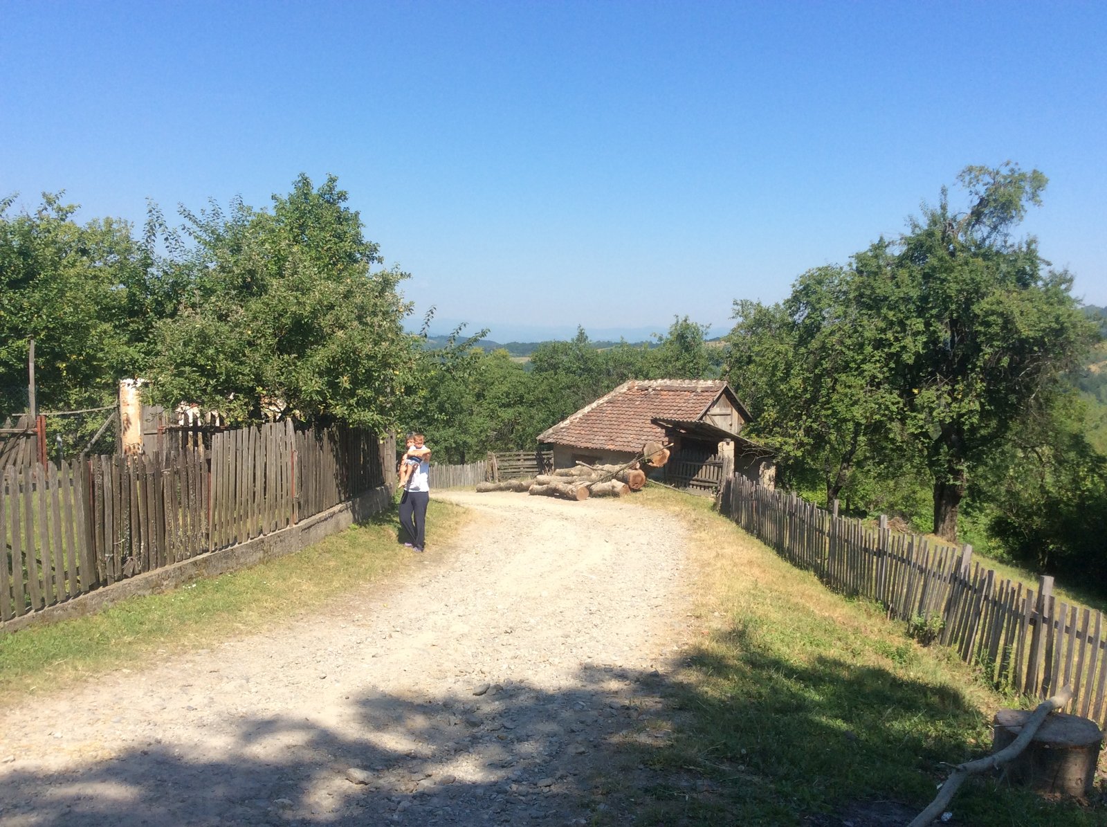
Planina, village anchor on the west
Krupanj town & Dobri Potok, from the eastern hills